-40%
USGS SADDLE MOUNTAIN, PINAL COUNTY, ARIZONA, GEOLOGIC MAP, 1968 NICE!!
$ 6.28
- Description
- Size Guide
Description
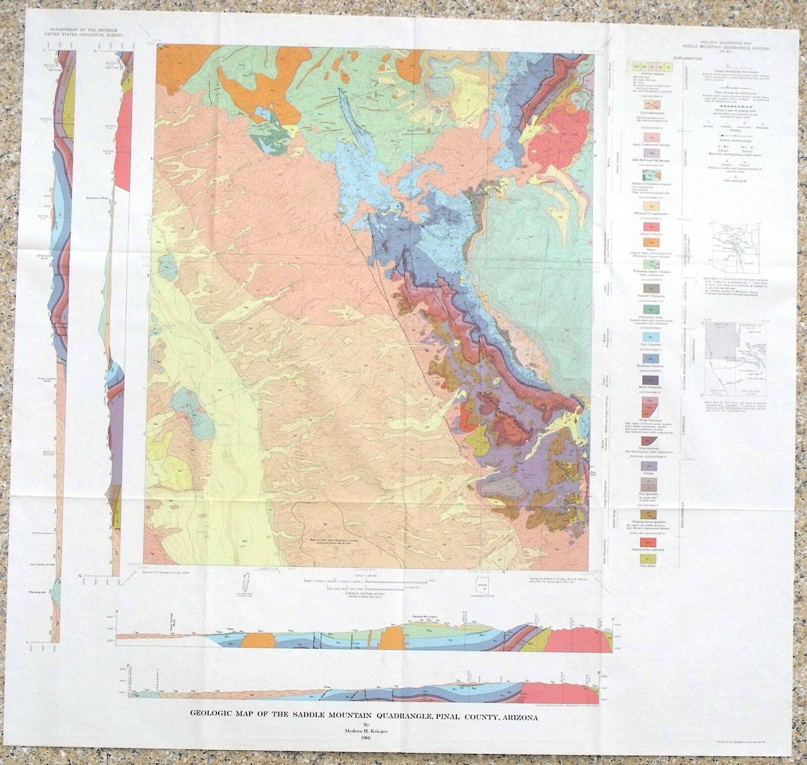
LAST ONE!!!This is USGS map GQ-671,
Geology of the Saddle Mountain Quadrangle, Pinal County, Arizona
.
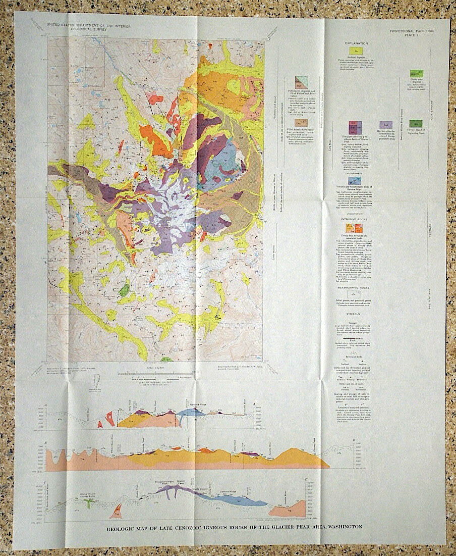
Published in 1968, this is a very nice item depicting the complex geology of this area. This 7.5-minute quadrangle map is beautifully colorful, and really would look nice framed.
It depicts the complex geology of this area. The San Pedro River Valley runs along the west side of the map. The geology consists of rocks from Precambrian to Tertiary in age. The area has some interesting folding and faulting that really shows well in the cross sections. There is a nice 3-page article on the geology. It is unusual to find the articles still with maps of this age.
This is part of a four map set covering adjoining areas that I am selling. The full set includes Lookout Mountain, Holy Joe Peak, Saddle Mountain and Brandenburg Mountain. Get the full set before one sells!
All in all, this is a cool, colorful map that would look great on the wall of a home or business near the area, or just kept for study and enjoyment.
I may have other nearby geology maps, and maps in other states listed, so check my other items.
Expert packing assured.
Visit my store,
Rockwiler Books and Minerals.
I will continue to add items to my store, so check back frequently.
®
ROCKWILER
